

Trowbarrow [The Trough]
Good walks are even better shared.
SD4875 : Rock climber on the Main Wall, Trowbarrow
Karl and Ali Photo source
Overview
Trowbarrow [The Trough]
Nestled within the stunning landscape of the Lake District, Trowbarrow invites hikers with its rugged charm and breathtaking vistas. With an elevation of 220 meters, this Hewitt stands tall among the region's hills, boasting a prominence that makes it a delightful challenge for the moderately adventurous.
Geology
Trowbarrow is a fantastic showcase of limestone geology, featuring striking outcrops and unique formations that you would expect to find in a geological textbook—if the textbook included images of pleasant walks and picnics! The limestone pavements are particularly intriguing, often hosting rare plants that thrive in this rocky environment.
Routes
The primary route begins at Trowbarrow Quarry, renowned for its limestone cliffs. The trail meanders through lush greenery interspersed with rocky patches, taking about 1.5 hours to complete the 2.5 km round trip. Don't forget to stop for a breather—those rocky outcrops at the summit are perfect for soaking in the views while enjoying a snack!
Summit Features
Upon reaching the summit, hikers are greeted with a prominent rocky outcrop. This is the place to unfurl your picnic blanket and maybe pretend you’re on a reality show about conquering peaks!
Terrain and Hazards
Be prepared for rocky, uneven terrain, which can be challenging. This isn’t the stroll in the park, but it’s not a complete mountaineering expedition either. Loose rocks can be sneaky little devils, particularly if the weather has decided to shower you with rain, so watch your footing.
Views
The summit rewards your efforts with awe-inspiring views—Morecambe Bay lays sprawling below, and on a crystal-clear day, you might catch a glimpse of the distant Isle of Man. Early spring and autumn are optimal seasons to visit, as the views are most unobstructed and the weather is generally kinder.
Access
Getting to Trowbarrow is fairly uncomplicated. The nearest parking is at the Trowbarrow Quarry car park, a stone’s throw away from the trailhead. Public transport from nearby Carnforth is available, but be ready for a short walk to the quarry itself, unless you’re hitchhiking on a field of clouds!
Facilities and Nearby Summits
While Trowbarrow doesn’t offer much in terms of facilities at the quarry, a short drive or walk can lead you to the nearest cafes and public toilets in Carnforth. While you’re exploring, consider visiting the nearby Warton Crag and Hutton Roof Crags for additional adventure, as they too offer splendid sights and hiking opportunities.
History
The name 'Trowbarrow' hints at a rich history, evoking tales of trolls and burial mounds that may just make your hike a little more enchanted. The quarrying in the region signifies the landscape's transformation, shaping both the land and the local community over decades.
In summary, Trowbarrow may not be the highest of peaks in the Lake District, but it certainly makes up for stature with spectacular scenery and a good old dose of geological charm. So lace up those boots, pack a snack, and go make some memories at this delightful hill!
Happy hiking!
Explore routes near Trowbarrow [The Trough]
Walks starting near this hill. Open a route to check its map, distance and full itinerary.
Bolton-le-Sands to Hest Bank: Lancaster Canal Towpath Return
View route
Sizergh: Park End Moss and Brigsteer Park Wood Circuit
View route
Ingleton Waterfalls Walk
View route
Ingleborough from Clapham
View route
Route planning notes
These notes describe possible approaches. Check a route's map and access information when planning your walk.
Trowbarrow Quarry to Summit
A popular route starting from Trowbarrow Quarry, meandering through limestone scenery with stunning views.
Make a day of it, together
Find someone to share the walk with, or organise a day out along a route you like.
Photo Gallery
View all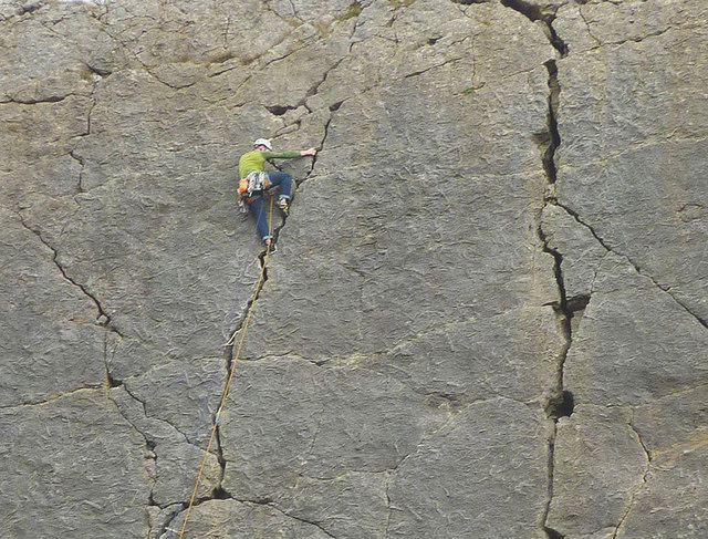 Photo could not load
SD4875 : Rock climber on the Main Wall, Trowbarrow
Karl and Ali
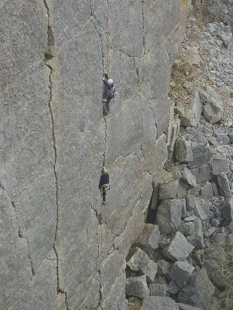 Photo could not load
SD4875 : Rock climbers on the Main Wall, Trowbarrow
Karl and Ali
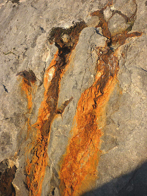 Photo could not load
SD4875 : Rust stains, Trowbarrow
Karl and Ali
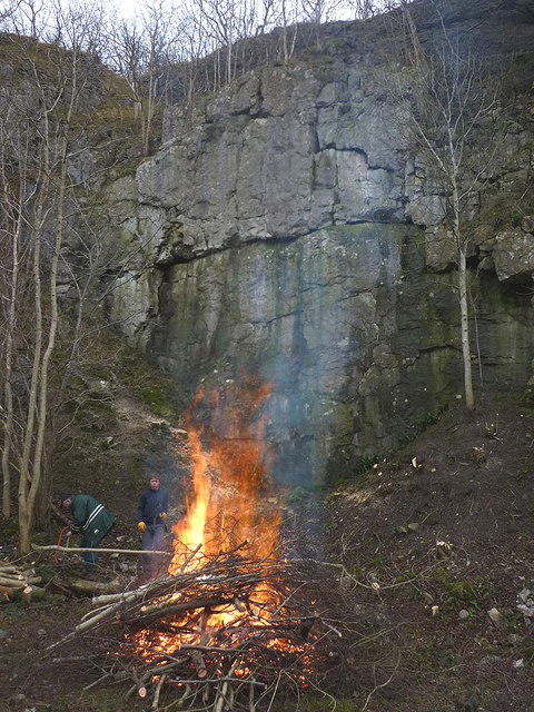 Photo could not load
SD4875 : Tree clearing at Trowbarrow Nature Reserve
Karl and Ali
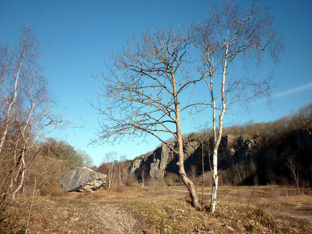 Photo could not load
SD4875 : Trowbarrow Quarry Nature Reserve
Karl and Ali
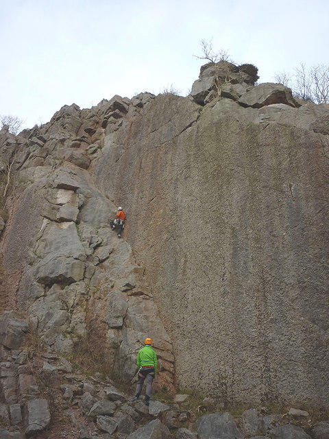 Photo could not load
SD4875 : Climbers at Trowbarrow
Karl and Ali
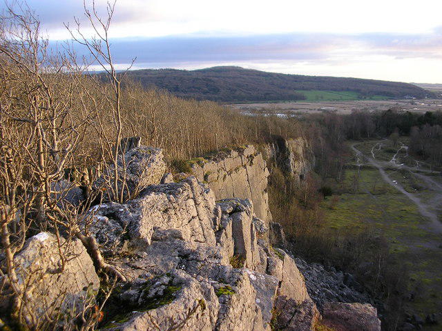 Photo could not load
SD4875 : The summit of Trowbarrow (the hill)?
Karl and Ali
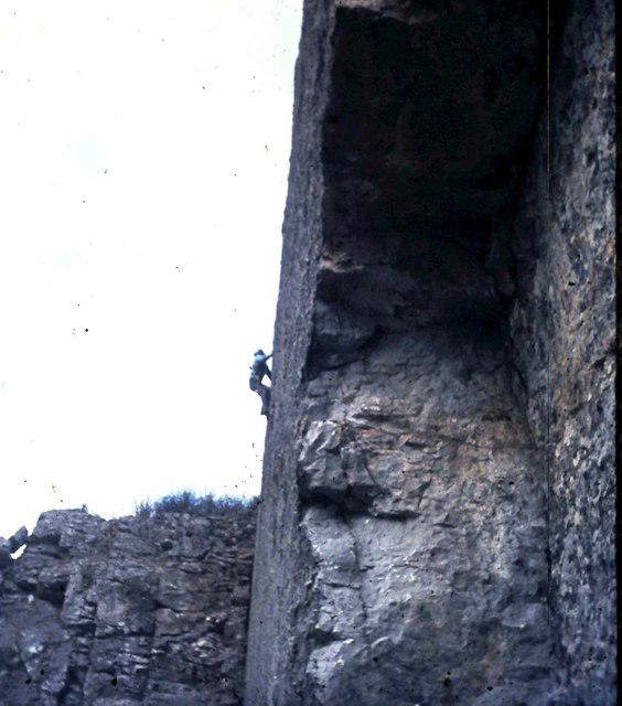 Photo could not load
SD4875 : Looking up the Main Wall at Trowbarrow Quarry
Clint Mann
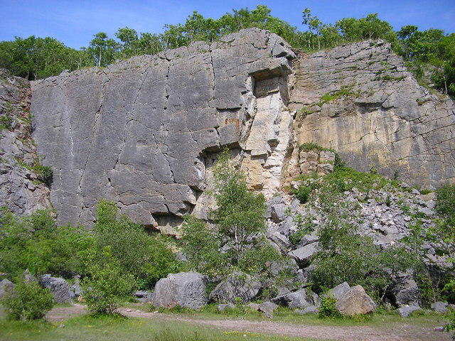 Photo could not load
SD4875 : Main Wall (left) and Yellow Wall, Trowbarrow Quarry
Karl and Ali
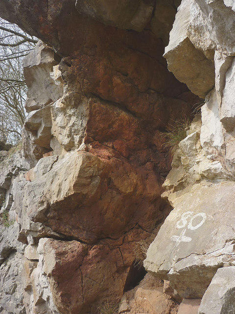
SD4876 : Paleokarst surface, Trowbarrow LNR
Karl and Ali
Hill facts and local notes
Classifications
Elevation
73m
239 ft
Prominence
33m
Coordinates
54.1773, -2.7964
SD481760
OS Map
97
Explorer: OL7S
At the Summit
The summit is marked by a prominent rocky outcrop, ideal for a well-earned rest and offers a perfect spot for a leisurely picnic.
Terrain & Geology
The area is characterised by limestone pavements and features a classic example of limestone geology, with exposed rock formations creating striking landscape formations.
Views & Scenery
From the summit, you'll catch fabulous views of Morecambe Bay, and on a clear day, even the Isle of Man can be spotted on the horizon.
History & Heritage
Name Origin
The name 'Trowbarrow' is thought to derive from 'trow', meaning troll, and 'barrow', a burial mound, giving it an air of mythical allure.
Historical Significance
The site has historical significance, being tied to quarrying activities that have shaped the local landscape.
Getting There & Facilities
Parking
Trowbarrow Quarry car park, which offers ample space but can fill up on weekends.
Public Transport
Local bus services run from Carnforth, though a short walk is required to reach the trailhead.
Nearby Facilities
Trowbarrow Quarry has limited facilities; the nearest cafes and toilets can be found in Carnforth.
Safety Information
Known Hazards
- Loose rocks and uneven terrain can pose a risk. Be cautious, especially after rainfall when paths may become slippery.
General Safety Tips
- Check weather conditions before setting out
- Carry appropriate clothing and equipment
- Let someone know your planned route
- Take a map, compass, and GPS device
- Carry emergency supplies: food, water, first aid kit, torch
Hills
Some common questions about the hills answered
Are there group walks up Trowbarrow [The Trough]?
Many walkers use Walkmates to join or organise walks with others. You can check for group walks around Trowbarrow [The Trough] through the maps
Are there other walkers around Trowbarrow [The Trough]?
Activity varies by location and time, but Walkmates lets you see whether others have shared walks or shown interest in this area. Find other people through the walking friends search walking friends for Trowbarrow [The Trough] search or of course create your own walk for Trowbarrow [The Trough]
Can I organise a walk to Trowbarrow [The Trough]?
Yes. If there aren’t any walks listed already, you can create a walk and make it available for others to join.
If you're signed up to Walkmates, you can create a walk to Trowbarrow [The Trough].
How do I find a walk up this hill?
There are often multiple ways to walk this hill, depending on experience and route preference. Walkmates helps you explore walks and routes that others have shared.
Can I suggest a new route up Trowbarrow [The Trough]?
Yes. You can suggest or create routes to share with others. Walkmates focuses on the social side of walking, so routes are used to help people organise walks and explore areas together, rather than as detailed navigation tools or route libraries.
Other uses really appreciate knowledgeable walkers sharing their routes. Share your favourite route to Trowbarrow [The Trough] here
The is an error or something incorrect about this hill. How do I let you know?
We always strive to keep the information on Walkmates as accurate as possible. If you find an error, please let us know through the contact form and we'll aim to correct it as quickly as possible
Community Discussion
Comments
Location
![Trowbarrow [The Trough] location map](https://cdn.walkmates.com/hill-maps/hill-sources/16330/54.17731_-2.79642.png)
Grid reference: SD481760
View on OpenStreetMapOpens a map in a new tab, centred on the hill.

No comments yet. Be the first.